

Air service, airports, and the rural comprehensive plan
October 2026 series: Transportation & the Comprehensive Plan
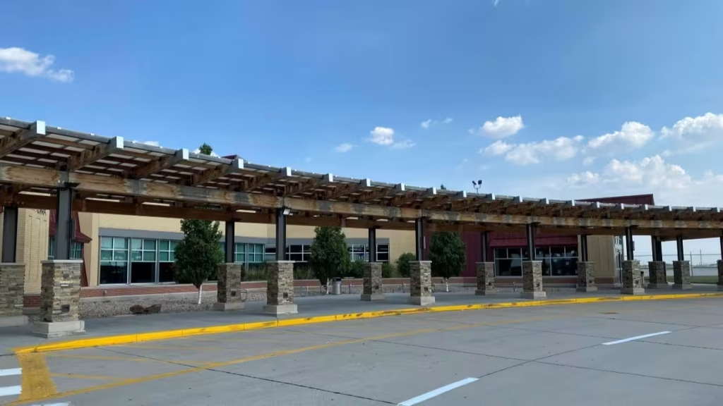
The terminal is small enough to cross in thirty steps. There is one gate, a counter staffed by the same two people most mornings, a vending machine, and a window looking out on a single runway. Twice a day, a regional jet lands, turns around, and leaves for a hub airport a few hundred miles away. For the town and the counties around it, that flight is the shortest route to the rest of the country: to a business meeting, a specialist hospital, a family reunion, or a connecting flight overseas.
Airports like this one are built to last for decades. The runway, the terminal, the fuel farm, and the land around them are long-term public investments. But the air service that gives the airport much of its economic meaning can change within a season. An airline adjusts its network, a route is reduced from two daily flights to one, or the service ends altogether. The runway is still there. The connection is not.
Most small town air transportation networks are much more than passenger service. Most rural airports never had that daily jet in the first place. Out in the Nebraska Panhandle, Kimball’s airport traces its origin to a local election in 1945. An airport authority followed in 1959, and the 6,200-foot runway was built in 1987. Today the field sits at the very edge of the city’s one-mile extraterritorial jurisdiction, which means the city cannot protect it without the county’s help. Kimball’s 2024 comprehensive plan, which I worked on, treats the airport as a coordination issue as much as a facility. Like hundreds of fields across the rural West and Plains, it is a long-term public bet that the community still pays to keep.
That is the central planning problem of this final article in our October series, and it brings us back to where we began. On the first of October, we wrote about prolonged fuel price uncertainty and transportation systems that change slowly. Aviation shows that tension in its sharpest form: the infrastructure changes slowly, while the service built on it can disappear quickly. It also raises a harder question I want to be candid about. Small rural airports are essential infrastructure, and they are expensive. They compete for the same limited local dollars as streets, water lines, sewer plants, and broadband, and I am not convinced every community has weighed that tradeoff in public.
An Airport is Not the Same as Air Service
The first distinction a community needs to make is between an airport and the scheduled air transportation service that sometimes operates there. It matters here as much as the difference between a railroad line and a passenger train did last week.
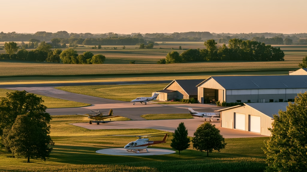
Most airports have no airline service at all. The FAA’s current National Plan of Integrated Airport Systems, the list that makes airports eligible for federal grants, includes 3,287 existing public-use airports. Only 390 are primary airports with regular airline service. The other 2,897 are nonprimary airports, and together they handle about 1 percent of passenger boardings (FAA NPIAS 2025–2029). Those nonprimary fields are mainly general aviation airports, a category the FAA further divides by role, from national to basic. They serve business aircraft, flight schools, crop dusters, air ambulances, firefighting aircraft, law enforcement, and private pilots. For most rural regions, those functions matter more than a daily flight to a hub.
The plans I have worked on in Nebraska, Colorado, and New Mexico show how wide that range is. Grand Island, Nebraska’s airport began as an air-mail grass strip in the 1920s, became Arrasmith Field in 1937, and served as an Army Air Force training base from 1942 to 1948. It is the only airport in that group of plans with commercial passenger service today. The Raton, New Mexico, airport is a former World War II Army Air Corps field on 1,208 acres. Its traffic is seasonal, with roughly 100 to 120 landings a month in winter and 200 to 220 in summer.
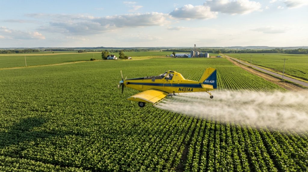
In Thayer County, Nebraska, Hebron Municipal Airport is a working agricultural airport that supports aerial applicators, including turbine aircraft and a helicopter service. The county’s economic development agency put it plainly: “Municipal airports in rural areas, especially those dependent on agriculture, are an integral economic piece”. Clay County, Nebraska, is home to Harvard State Airport, which is owned by the state aeronautics agency rather than a local sponsor. In Jefferson County, Nebraska, the county seat of Fairbury has a municipal airport and a hospital helipad, which means redundant aviation and medical access in the same small community.
A lost passenger route does not mean an airport has lost its value. A medevac helicopter, an agricultural operator, or a manufacturer’s corporate aircraft may depend on the runway long after the airline has left. The reverse is also true. A runway with an industrial park beside it does not, on its own, prove economic benefit. Many communities have built both and waited for tenants who never came.
The useful question is not whether an airport is good for economic development in general. It is more specific: which functions does this airport actually serve, for whom, and at what lasting public cost? An honest answer to that question is the starting point for how air transportation fits into the big picture overall.
The arithmetic of a small airport
The part of the question, “at what lasting public cost,” is where many plans fall short. The federal funding structure makes airport projects look inexpensive to the community who sponsors them, and that is part of the problem.
Under the Airport Improvement Program, the federal government normally pays 90 percent of eligible project costs at smaller airports. The 2024 FAA reauthorization temporarily raised that share to 95 percent for non-hub and non-primary airports, but only for grants issued in fiscal years 2025 and 2026. Amendments to multi-year grants after FY2026 revert to 90 percent (FAA, R-PGL 25-05). The same temporary 95 percent share applied to Airport Infrastructure Grants (FAA). Each eligible general aviation or reliever airport also receives an annual entitlement of $150,000 or one-fifth of its five-year capital needs in the national plan, whichever is less (FAA, R-PGL 25-05). Congress appropriated $4.0 billion in regular AIP funding for FY2026, and the FY2027 request holds that level (CRS).
The infrastructure law added a second stream. The Airport Infrastructure Grant program provided $14.5 billion over five years beginning in FY2022 (FAA), with nonprimary airports sharing up to $500 million a year (FAA IIJA FAQ). The FY2026 round was the fifth and final installment (AvWeb).
None of that money is free to the community that accepts it. A 90 or 95 percent federal share covers the capital project. It does not cover the local match, the airport’s day-to-day operations, the staff time, the snow removal, the mowing, the fuel system, or the long-term maintenance obligations that come with accepting federal grants. The national plan identifies $67.5 billion in eligible airport development needs between 2025 and 2029. Nonprimary airports account for $19 billion of that, about 28 percent, while serving about 1 percent of passengers (FAA NPIAS). Those numbers do not argue against general aviation airports, which do things passenger counts cannot measure. They do argue for clear eyes about what each one is for.
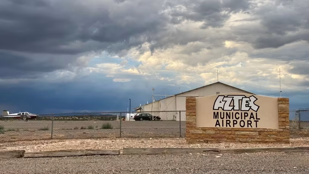
Aztec, New Mexico, offers a useful local example. The city’s 2021 comprehensive plan we worked on reported FY2017 airport operating revenue of $56,556 against expenses of $50,626. That looks like a modest surplus, but the expense figure excluded personnel. Once staff costs are counted, the airport is a public service the city subsidizes, like most small airfields. That is not a reason to close it. It is a reason to know what the community is buying.
The fair comparison is not the airport against nothing. It is the airport against the community’s other unmet infrastructure needs. A plan should separate the airport’s essential functions, such as medical flights, agricultural aviation, and emergency response, from its aspirational ones, such as business recruitment, air cargo, and new scheduled service. The first group is often the strongest case for keeping a small field open. The second deserves the same evidence we would ask of any other capital request.
The runway is built for decades. A scheduled flight can disappear within a season.
Scheduled air service under pressure
Since airline deregulation in 1978, carriers have decided for themselves which routes to fly, and many have concentrated their networks on large hubs. Congress created the Essential Air Service (EAS) program that same year so that eligible small communities would not lose air service altogether. As of November 2025, the program supported service to 108 communities in the contiguous United States, 70 in Alaska, four in Hawaii, and one in Puerto Rico (AvWeb, reporting DOT figures).
In testimony this year, federal auditors reported that average daily departures per route at non-hub airports fell 19 percent between 2018 and 2024. Among non-hub airports without subsidized service, 123 of 170 saw declines. The drop averaged 21 percent at those airports, compared with 5 percent at non-hub airports served through the program (GAO-26-109182).
The program is not cheap, and its future is unsettled. Congress appropriated $514 million for Essential Air Service in FY2026, and overflight fees add about $174 million more (CRS). The administration’s FY2027 budget proposes cutting the appropriation to $142 million (CRS), which would cut total program funding roughly in half. The budget argues that the program subsidizes “half-empty flights from airports that are within easy commuting distance from each other” (AirlineGeeks). Supporters, including many rural members of Congress, call it a lifeline. Congress rejected a similar cut last year, and the House Appropriations Committee has approved $538 million for FY2027. No full-year bill has passed, and a continuing resolution funds the program at FY2026 levels through December 11, 2026 (CRS).
The rules are tightening even without a budget cut. Communities within 175 miles of a large or medium hub must keep their average subsidy below $650 per passenger. For other communities in the lower 48, the limit was $1,000 per passenger and fell to $850 on October 1, 2026. Communities must also average at least 10 boardings a day unless they are more than 175 driving miles from a hub (DOT).
The Small Community Air Service Development Program works differently. It offers competitive grants for revenue guarantees, marketing, and studies to help communities attract or keep service. In September 2026, DOT selected 14 projects from 56 eligible applications that together sought nearly $49 million. Revenue guarantees under those grants can run no longer than three years (DOT selection order), and the awards totaled nearly $12 million in FY2024 funds (DOT). Most recipients were established commercial airports in places like Wichita, Tallahassee, and Grand Junction. One in four eligible applicants won, and the help is temporary by design.
Fuel prices add pressure this year, and airlines facing higher costs tend to trim their thinnest routes first. But fuel is rarely the only reason a route disappears. When the Lufthansa Group cut 20,000 short-haul flights this summer, most of the reduction came from closing its CityLine regional subsidiary, and the company cited labor disputes alongside fuel prices that had doubled (BBC). Fleet decisions, pilot shortages, competition, and restructuring often work together.
A community that understands why its service changed is better placed to respond. There is also a local factor no subsidy can fully fix: many rural residents think nothing of driving two hours to a larger airport with more flights and lower fares—I have done it myself–which in turn makes the local service harder to sustain. When I worked in Cheyenne, Wyoming, the County wouldn’t even pay to use the local City airport when we could just drive 100 miles to Denver International Airport to save even one dollar of taxpayer funds.

Keeping thin routes alive elsewhere
Comparisons with other countries are most useful when they reveal different kinds of access, not just different subsidy tables.
Europe’s closest counterpart to Essential Air Service is the Public Service Obligation. Under EU rules, a member state may impose a service obligation on a route considered vital to the economic development of the region it serves. If no airline will operate the route on those terms, the state may contract a single carrier through a public tender and compensate its losses (European Commission). In March 2024, the European Commission listed 165 such routes (European Commission PSO inventory), most of them short domestic flights (Ishka). The system faces the same hard questions as EAS: how thin is too thin, how close is too close to another airport, and how long public support should last.
Air service as basic access
In other places, the question is not whether a business traveler can reach a hub, but whether a community can receive food, medicine, and mail at all. In 2020, Transport Canada counted 140 remote communities that rely on air service as their only year-round mode of transportation (Transport Canada). Canada’s Nutrition North program subsidizes nutritious, perishable food flown into isolated northern communities that lack year-round road, rail, or marine access (Nutrition North Canada). In Australia, the Remote Air Services Subsidy Scheme supports a regular weekly flight carrying passengers, medicines, fresh food, educational materials, and other urgent supplies to up to 276 remote communities, many of them First Nations communities (Australian Government). Australia also funds upgrades and inspections at remote aerodromes through the same regional aviation program (Productivity Commission).
Most rural towns across North America are not in that situation, though parts of Alaska are. In rural Nebraska, Colorado, or New Mexico, a regional airport is usually a long drive away, though not an impossible one. But the comparison clarifies a planning point: an airport’s value depends on what it makes possible for the people who rely on it, whether that is a connection to the global economy or the next delivery of medicine. It also sharpens the cost question. When a road exists, the honest comparison includes the cost of getting people to a larger airport by ground.
Land Use: Where the Comprehensive Plan Does its Most Important Work
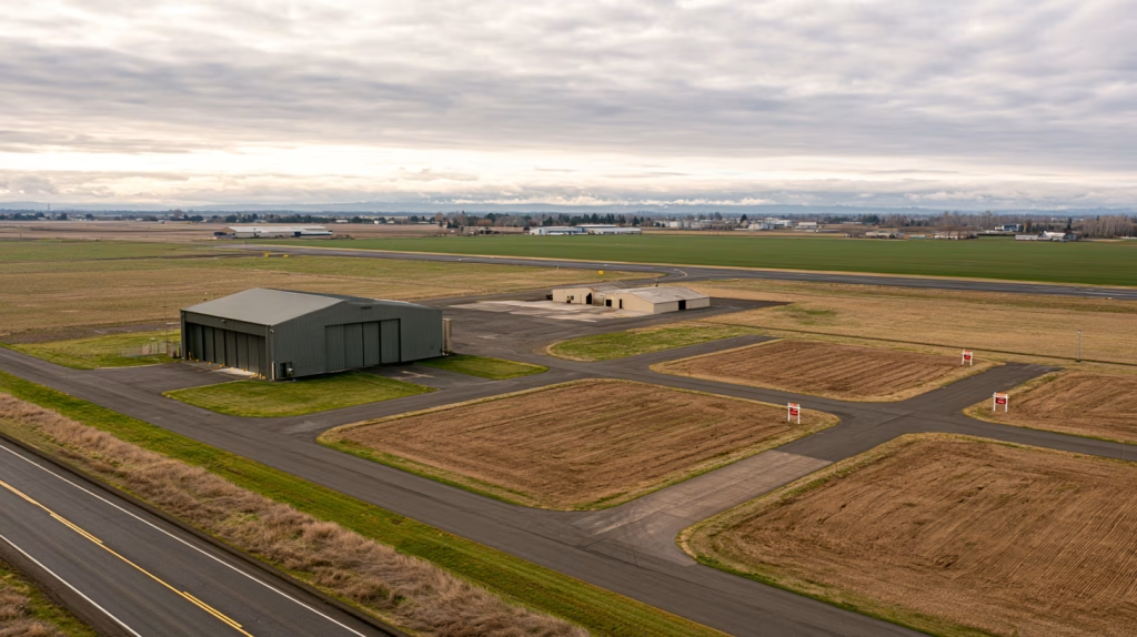
If a community cannot control airline networks, it can control much of what happens on the ground around its airport. This is where the comprehensive plan has the most to contribute, and where planning failures are hardest to undo. It is also where the cost argument turns in the airport’s favor. Zoning is cheap, and encroachment is expensive to reverse.
Protecting the Buffer
Of all the things a community can do for its air transportation systems, protecting the land around the airport is probably the best value. A buffer goes a long way in reducing land use conflicts
Protecting the airspace
Federal rules define imaginary surfaces around runways that aircraft need to approach and depart safely. I knew I should have paid more attention in trigonometry class, but I am glad the engineers know how those work.
Anyone proposing a structure that may penetrate those surfaces must notify the Federal Aviation Administration, which studies the proposal and issues a determination of hazard or no hazard. But an FAA determination is not a building permit or a building ban. As the FAA itself notes in its model airport zoning ordinance, “The FAA cannot prevent its erection without local assistance” (FAA AC 150/5190-4A). That authority rests with state law and local governments, through airport height zoning adopted under state enabling legislation. A town that relies on the FAA alone to protect its approaches is relying on a tool that was never designed to do that job.
The Nebraska plans I worked on take that responsibility seriously. The Hall County and Grand Island plans cite the state’s Airport Zoning Act, Neb. Rev. Stat. §3-301 et seq., as the basis for local height and use controls. The Clay, Thayer, and Jefferson County plans each include policies discouraging tall structures near airports. That policy now matters for communications towers, wind turbines, grain facilities, and data centers as much as for buildings. Thayer County’s plan also points out that private-use airports and FAA Part 157 notice requirements belong in the same conversation, because not every runway in a rural county is a public one.
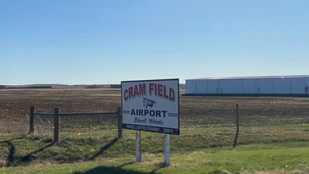
Our plan for Burwell, Nebraska, shows how ordinary a rural obstruction can be. The list of obstructions at Crum Field includes the highway surface, a 59-foot tree, deer and waterfowl, and center-pivot irrigation in the pilot’s line of sight. None of those is a skyscraper. Every one of them is a land use, maintenance, or agricultural question that local officials and landowners can actually address.
Compatible land use
Height is only one issue. Noise, safety zones at the runway ends, wildlife attracted by ponds or landfills, and lighting all affect whether land near an airport can be used safely and without conflict. A persistent long-term problem is residential development that creeps toward the runway. Each subdivision may seem reasonable when approved. Years later, new residents complain about noise, pressure builds to restrict operations, and the airport’s future becomes a political fight. An airport compatibility overlay, much like the gateway overlay we described in our first week, can set expectations long before that happens.
Physical limits matter too, and they carry costs. Aztec’s airport sits on a mesa about 238 feet above town. It operates on a single 4,314-by-60-foot runway after its crosswind runway closed in 2017, and the plan anticipates moving from design category A-I to B-I by 2037. Each step up in design category brings new standards for runway width, safety areas, and clearances, and with them new capital projects. Even with a 90 or 95 percent federal share, the local match and the upkeep that follow are local.
Who can act
Responsibilities are divided, and the plan should make that clear. The airport sponsor, often a city, county, or airport authority, prepares the airport master plan and its land-use drawings with FAA guidance. But land around the airport is often in other jurisdictions: a neighboring township, an unincorporated part of the county, or private parcels under someone else’s zoning. Kimball’s airport, sitting at the edge of the city’s extraterritorial jurisdiction, is a textbook case.
The state may have its own aviation agency and land-use rules, and in Clay County the state itself owns the airport. The FAA reviews obstructions and funds eligible projects, but it does not zone land. An airport master plan and a comprehensive plan that ignore each other leave gaps exactly where protection is needed most. The plans should use consistent mapping and compatible land-use assumptions, and neighboring jurisdictions should be part of the conversation.
The industrial park question
Land near an airport is often designated for industry or business, and sometimes that makes sense. But nearness and need are not the same thing. A business may want to be close to the airport, may need direct access to the runway for its own aircraft, or may simply need affordable land on a good road. Those are three different markets.
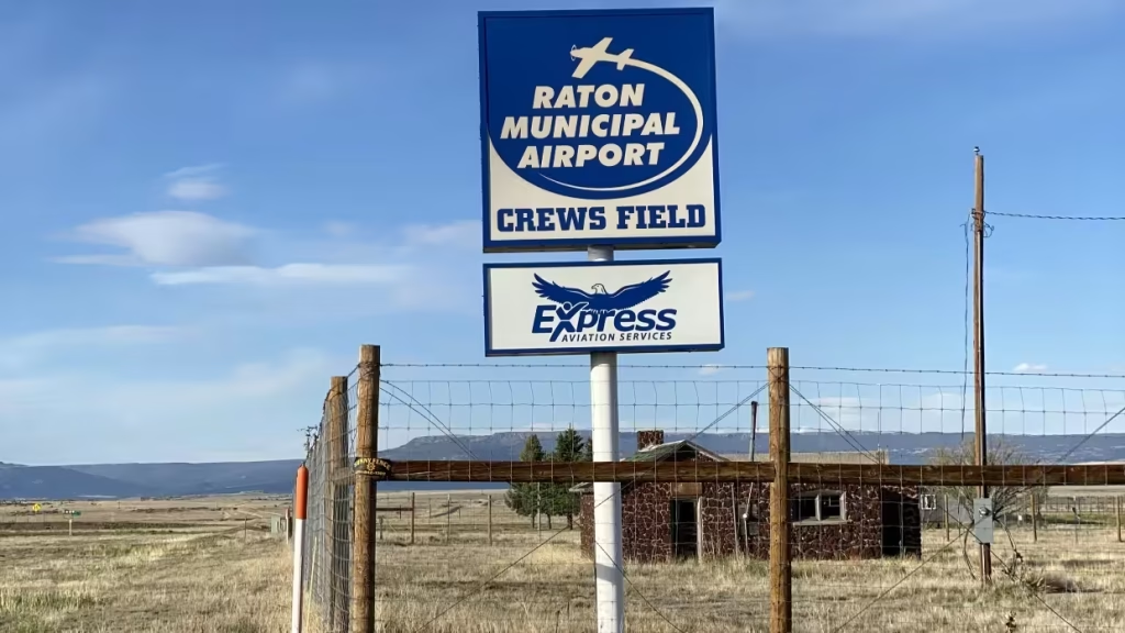
Raton’s plan calls for moving its airport from design category B-II to C-II and pursuing air cargo to support a regional industrial park. Aztec’s plan pairs its airport goal with a strategy to work with the Economic Development Advisory Board on airport-related businesses. Both are reasonable ambitions. Before committing public land and infrastructure, though, a community should ask which businesses actually require the airport, whether there is demonstrated demand, and whether land with runway access should be reserved for users who need it rather than filled with ones who don’t. A business that only needs cheap land and a good road can often be served elsewhere leaving airport access to enterprises who can make best use of that amenity.
Much of an airport’s future is decided on the ground around it, often by people who never think of themselves as making aviation policy.
What This Means For Your Comprehensive Plan
A comprehensive plan cannot schedule flights, set fares, or decide which communities qualify for federal subsidies. It can make sure the community understands its needs for air transportation, what its airport does and what it costs, and protects the conditions that allow it to keep doing it.
- Define the airport’s actual role. Document commercial service, general aviation, medical flights, agricultural use, emergency response, and business users. Identify who depends on each and what each costs to sustain. Hebron’s agricultural operators and Grand Island’s airline passengers are both legitimate users, but they are not the same case, and the plan should not treat them as one.
- Weigh the airport against other infrastructure needs. Put airport capital projects in the same capital plan as streets, water, and sewer: the Infrastructure Capital Improvements Plan in New Mexico, the One-and-Six-Year Plans in Nebraska, or the local capital improvement program. A project that looks inexpensive at a 95 percent federal share should still compete for local match, staff time, and operating dollars with everything else on the list.
- Plan for less federal money. The Airport Infrastructure Grant program has made its final allocation, and the temporary 95 percent federal share for smaller airports expires after FY2026 (see the sources cited above). A capital plan built on those terms should be rechecked against the 90 percent share and the regular entitlement.
- Right-size the facility. Maintain the essential functions, and require evidence before expanding a runway, changing design category, or adding facilities. Forecasts in the airport master plan should be tested against actual activity, not aspiration.
- Align the plans. Coordinate the comprehensive plan with the airport master plan, so both use consistent maps, assumptions, and land-use designations.
- Protect the airspace and the land around the runway. Adopt or update airport height and compatibility zoning, working with neighboring jurisdictions. Keep residential and other noise-sensitive uses out of high-impact areas, and avoid land uses that attract wildlife. Nebraska’s Airport Zoning Act and the tall-structure policies in the Clay, Thayer, and Jefferson County plans offer working models.
- Coordinate across boundaries. Where the airport sits at the edge of the city’s jurisdiction, as in Kimball, or is owned by the state, as in Clay County, the plan should name the partners and set out how review and coordination will work.
- Be realistic about airport-related development. Distinguish between businesses that need runway access, businesses that benefit from proximity, and businesses that simply need land. Reserve airside land for users who require it.
- Plan ground access. Connect the airport to the road network and, where possible, to the transit and on-demand services we discussed in week two. For many rural residents, the relevant airport is a two-hour drive away, and getting there is part of the access question. Kimball County Transit System began intercity service to Denver International Airport in 2022, giving Panhandle residents a link to a major hub without local airline service. For many rural regions, a well-run ground connection to a larger airport may be the most cost-effective air service the community can provide.
France offers a different kind of lesson about ground alternatives. In 2023, it banned domestic flights on routes where a direct train makes the trip in under two and a half hours. In practice, the rules applied to only three routes from Paris-Orly, to Bordeaux, Lyon, and Nantes (Euronews). Those flights had already been cut back in 2020 (Euronews), after the government made limits on domestic flying a condition of its pandemic-era support for Air France-KLM (SGS Airline Risk Calculator). The European Commission approved the measure for three years, subject to review (ch-aviation). As of mid-2026, it still covered the same three routes (IEEP UK). The episode shows how closely air and rail service are linked: where fast, frequent trains exist, the case for short flights, and for subsidizing them, weakens. The same logic applies to a good road and a reliable shuttle. - Approach air service development with evidence. Before pursuing new routes or incentives, study local demand, leakage to other airports, and cooperation with neighboring communities. Federal programs, including Essential Air Service and the Small Community Air Service Development Program, can help, but they work best where the market case is clear. The new EAS limits on per-passenger subsidy, and the fact that only about one in four eligible SCASDP applicants won funding this year, are reasons to build that case before asking.
- Include the airport in emergency planning. Identify its role in medical evacuation, firefighting, disaster response, and supply during road closures. Fairbury’s hospital helipad is a reminder that these functions do not always sit at the airport itself. For many small fields, emergency and medical access is the strongest argument for keeping the runway open.
- Turn goals into assigned actions. My Nebraska plans pair airport goals with an implementation matrix that names responsible organizations, funding sources, whether a project belongs in the capital improvement program, and a time frame. The Aztec and Raton plans I worked on each give the airport its own goal and numbered strategies. Whatever the format, airport policy should end in specific actions with someone responsible for carrying them out.

Four weeks, one question
This series began with fuel prices and slow systems. Since then, we have walked from the edge of town to the main street, along sidewalks and trails, across railroad crossings, and out to the runway. Each week, the mode changed, but the planning question did not.
Streets, sidewalks, rail corridors, and runways last for generations. The services that use them, such as a bus route, a passenger train, or a daily flight, can change much faster, and so can the needs of the people who rely on them. Grand Island’s and Raton’s wartime airfields and Kimball’s 1945 election were long-term bets on air transportation made by earlier generations, and their communities are still paying to keep those bets alive.
Some of those investments have paid off many times over. Others deserve a harder look. The comprehensive plan is where a community decides what access it needs, protects the land and connections that make that access possible at the lowest reasonable cost, and makes those choices before a development approval, a budget cut, or a schedule change makes them for it.
What does your region depend on its air transportation system for, what does it cost to keep the airport open, and is your plan doing enough to protect that access?

Further Reading
Sources and background
- Federal Aviation Administration — National Plan of Integrated Airport Systems (NPIAS) 2025–2029: https://www.faa.gov/airports/planning_capacity/npias
- U.S. Government Accountability Office — Commercial Aviation: Trends in Air Service to Small Communities (GAO-24-106681, 2024): https://www.gao.gov/products/GAO-24-106681
- U.S. Government Accountability Office — Commercial Aviation: Air Service to Small Communities Continues to Face Challenges (GAO-26-109182, 2026): https://www.gao.gov/products/gao-26-109182
- Federal Aviation Administration — Advisory Circular 150/5190-4A, A Model Zoning Ordinance to Limit Height of Objects Around Airports: https://www.faa.gov/documentLibrary/media/Advisory_Circular/AC_150_5190-4A.pdf
- GlobalAir — White House proposes cutting Essential Air Service funding: https://www.globalair.com/articles/white-house-proposes-cutting-essential-air-service-funding-by-372m/12140
- Lufthansa Group — Summer 2026 flight schedule adjustments: https://business.lufthansagroup.com/al/en/program/experts/news/lufthansa-group-accelerates-strategy-implementation-and-optimize
- European Regions Airline Association — Position paper on EU Air Services Regulation 1008/2008, including Public Service Obligations (2026): https://www.eraa.org/wp-content/uploads/2026/02/20260202_ERA-position-paper-reg.-1008-2008_FINAL.pdf
- Business Travel News Europe — France formally bans some domestic flights: https://www.businesstravelnewseurope.com/Air-Travel/France-formally-bans-some-domestic-flights
- Transport Canada — Measures to support essential air access to remote communities (2020): https://www.canada.ca/en/transport-canada/news/2020/08/government-of-canada-announces-new-measures-to-support-essential-air-access-to-remote-communities.html
- Australian Government — Remote Air Services Subsidy Scheme: https://www.infrastructure.gov.au/infrastructure-transport-vehicles/aviation/regional-remote-aviation/remote-air-services-subsidy
- APA — Planners and Planes: Airports and Land-Use Compatibility, PAS Report 562, by Susan Schalk, Stephanie Ward, AICP (2010): https://www.planning.org/publications/report/9026886/
Books
- Airport Planning and Management, 7th Edition by Seth B. Young and Alexander T. Wells (McGraw Hill, 2019)
The standard textbook on how airports are planned, funded, and run, including master planning and land-use compatibility. - Aerotropolis: The Way We’ll Live Next by John D. Kasarda and Greg Lindsay (Farrar, Straus and Giroux, 2011)
An ambitious case for airports as engines of economic development; worth reading alongside this article’s more cautious view of airport-related growth. - Hard Landing: The Epic Contest for Power and Profits That Plunged the Airlines into Chaos by Thomas Petzinger Jr. (Crown Currency, 2010)
The story of airline deregulation and why small communities lost so much service after 1978. - Confessions of A Recovering Engineer: Transportation for a Strong Town by Charles Marohn (Wiley, 2021)
Chuck Marohn delivers a vision for more accessible and engaging local transportation systems in his second book in the Strong Towns series. He delivers withering critiques of his chosen profession, yet also offers real-world examples of communities doing better for all residents. Our October 2026 featured book of the month.
As an Amazon Associate, jcshepard.com earns from qualifying purchases. This does not affect the price you pay or our recommendations.
Resources
Here’s an ear worm on today’s theme…
RURAL-READY ENGAGEMENT: PRACTICAL TOOLS FOR SMALL TOWN PLANNERS
 Watch the full replay: youtube.com/@Engaging-Communities (February 2026). Community engagement can look very different in small towns and rural communities. This webcast was co-sponsored by the APA Community Engagement Interest Group and the Small Town & Rural Planning Division.
DYNAMIC DECISIONS PODCAST (SEASON 2 EPISODE 15)
“Stop Chasing Smokestacks. Grow What You Have” with Teasha Cable of cModel Data, now playing on Youtube (audio), Apple Podcasts, Spotify (May 2026). Other listening links here.
THE RURAL IMPACT PODCAST (EPISODE #86)
“Pathways to Powering Rural America” My guest spot on Michelle Rathman’s podcast. Episode page here, listen on Apple Podcasts or Spotify, or watch (!) on youtube. We talked about energy, data centers, and good governance, plus so much more.
POPULAR POSTS ON JCSHEPARD.COM
- The Planning Process—From Vision to Action in Small Towns and Rural America (January 2026)
- Historic Preservation and Rural Economic Development: A Rural Growth Strategy (April 2026)
- Small Towns Can Build a Strong Outdoor Economy Without Selling Out (June 2026)
- The Rise of Rural Entrepreneurship: Building Economies from the Ground Up (January 2026 on Medium.com)
- When the Zoning Code Works Against the Plan (September 2026 just last month!)
- Reviving Rural America: Why Heritage Tourism Is a Game-Changer Now (September 2025)
- Main Street America and the Revival of Downtown (June 2026)
- What is Economic Development in Modern America? A Field Guide for Small Towns and Rural Places (March 2026)
- Rethinking the Rural Economy: New Paths, New Possibilities for Growth (August 2025) / Rural Entrepreneurship: Building Economies from the Ground Up (August 2026 on Medium.com)
- How Small Towns Succeed: A Proven Playbook for Rural Action (November 2025)
- Is Rural Really the Same as Non-Metro? (February 2026)
- Revitalizing Main Street the Idea-Friendly Way (August 2026 on Medium.com)
- Small Towns, Big Impact: How Rural Communities Are Designing Their Own Futures (November 2026)
- Floodplain Management and the Comprehensive Plan: Beyond the FEMA Flood Map (August 2026)
- Stop Chasing Smokestacks: A Practical Guide to Small‑Town Economic Development (May 2026)
- Soils and the Comprehensive Plan: What Your Soil Survey Is Trying to Tell You (July 2026)
Check out The 12 Planning & Sustainability Books You Need in 2026 and browse through the Small Town & Rural Community guides on our Resources page.
.