When the Zoning Code Works Against the Plan

The building has stood at the corner for a hundred and eighteen years. Red brick, two stories, cast-iron columns flanking a recessed entry, a limestone date stone reading 1908. The ground floor has held a dry goods store, a five and dime, an insurance agency, and for the last six years a coffee shop that […]

Ag First: How Rural Land Use Policy Protects Working Ground

The development application is straightforward on paper. Twelve residential lots on forty acres of prime ag land, five miles outside of town. The heirs of the family that farmed it want to sell. A developer has found buyers. The parcel is accessible from a county road. No wetlands. No floodplain. Nothing obviously wrong. The planning […]

Data centers are now the defining rural land use fight
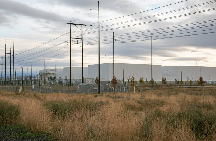
What began as scattered neighborhood resistance to individual projects has become something much larger: a national backlash against the physical footprint of the AI economy. According to Data Center Watch, at least 75 data center projects worth more than $130 billion were delayed or canceled in the first quarter of 2026 alone, effectively matching the […]

Rural Broadband Makes Progress… at a Cost
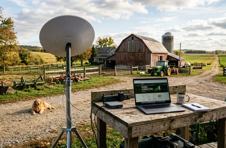
The US Federal Communications Commission (FCC) recently reported 96.9% of Americans have access to 100/20 Mbps fixed terrestrial broadband. I guess that puts me among the 3.1%, despite a 44% reduction in unserved populations in rural America over the last two years. I was reminded of that report listening to Deb Brown and Becky McCray […]


The Future Land Use Map: Your Community’s Most Important Document

The call comes on a Tuesday afternoon. Three siblings have inherited a half-section of ground from their mother, and they all moved to California or Texas years ago. A developer has offered to buy the west forty for twelve rural home sites of three acres each, on a gravel road five miles from the nearest […]
More Than a Country Store: Essential Retail as Community Infrastructure

We’ve all been there. You get home late and open the fridge to start making dinner and find somebody finished the milk and didn’t put it on the list. Or the eggs. Or something you could run down pick up at the corner grocery in the city. But you don’t live in the city. You’re […]


Land Use: The Hidden Blueprint for Your Town’s Future
Somewhere in your county, there’s a parcel that’s about to become a question. The family that farmed it for three generations has kids who moved away years ago. They’ve got their own lives, their own mortgages, their own reasons for wanting to convert that ground into something they can sell. They find a developer who’s […]
The Local Hazard Mitigation Plan and the Comprehensive Plan: When the Plans Finally Talk

Part 5 of 5 in our August series on Public Safety and Hazard Mitigation in the Comprehensive Plan. Most communities have already mapped their risks. They know which roads flood first, which low-water crossings become impassable, which neighborhoods have limited ways in or out, and which public facilities lose power when the weather turns bad. […]

Floodplain Management and the Comprehensive Plan: Beyond the FEMA Flood Map

Part 4 of 5 in our August series on Public Safety and Hazard Mitigation in the Comprehensive Plan. Nearly every comprehensive plan acknowledges flood risk. Too seldom do our planning processes translate that acknowledgment into effective floodplain management. Every community has a relationship with water. Some are defined by a major river, a lake, a […]

Man-Made Hazards and Land Use Planning: The Risks Nobody Puts on the Map

Part 3 of 5 in our August series on Public Safety and Hazard Mitigation in the Comprehensive Plan. When most people hear “hazard mitigation,” they think of floods, tornadoes, wildfires, or winter storms. Those are real and familiar risks, especially in rural communities. But communities also face hazards created by the systems we build, the […]