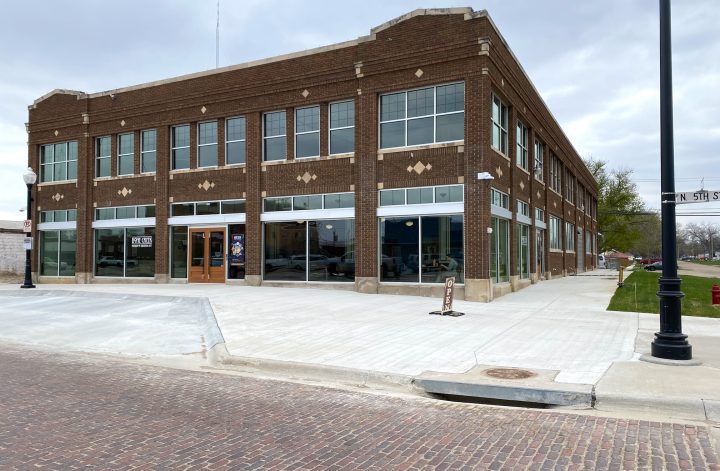
Natural Hazards and the Comprehensive Plan: The Hazards Are Already on the Map

Part 2 of 5 in our August series on Public Safety and Hazard Mitigation in the Comprehensive Plan. Every community has natural hazards. Not every community has chosen to shape their future to put resilience to hazards front and center. That distinction is at the heart of hazard mitigation and comprehensive planning. Tornadoes, floods, drought, […]


How Comprehensive Plans Shape Fire, EMS, Law Enforcement, and Emergency Management

Part 1 of 5 in our August series on Public Safety and Hazard Mitigation in the Comprehensive Plan. Nearly every comprehensive plan includes a public safety chapter. Very few treat public safety as a land use outcome. The chapter lists the fire stations, notes the number of law enforcement officers per capita, mentions the local […]



Public Safety and the Comprehensive Plan: What’s Coming in August

Introducing our August series on Public Safety and Hazard Mitigation in the Comprehensive Plan. In too many communities, the comprehensive plan and the Local Hazard Mitigation Plan live in separate binders — prepared by separate offices, often in separate counties, by decisionmakers who may not know each other, let alone talk to one another. It’s […]


Conservation Tools in the Comprehensive Plan: Easements, CRP, and Land Trusts

Part 4 of 4 in our July series on Natural Resources and the Comprehensive Plan. Every year, somewhere in rural America, a family farm changes hands. Sometimes it stays a farm or ranch. Sometimes it becomes fifty or five hundred new houses. Most comprehensive plans never influence that decision — not because they lack good […]
Policy Exchange: What our Networks Have Helped Small Towns Learn

Building community is complex and our landscapes are rapidly shifting. Even in small towns and rural areas. Maybe more so outside of urban areas, as we face both persistent challenges and emerging opportunities. Yet rural leaders are recognizing we don’t have to navigate this terrain alone. Last July, we explored some common policy exchange mechanisms—professional […]
Wetlands and the Comprehensive Plan: From Inventory to Protection

Part 3 of 4 in our July series on Natural Resources and the Comprehensive Plan. Nearly every comprehensive plan maps wetlands. Very few put them to work. The natural resources chapter almost always includes a reference to the National Wetlands Inventory, a figure showing riverine and palustrine systems, and a general goal about “protecting wetland […]
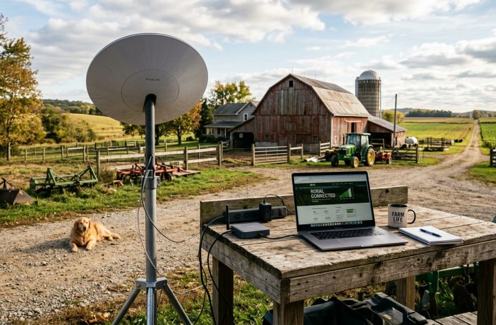


Water Resources and the Comprehensive Plan: Planning for Wells and Watersheds

Part 2 of 4 in our July series on Natural Resources and the Comprehensive Plan. Nearly every comprehensive plan acknowledges water resources. Very few actually put those resources to work. The natural resources chapter notes the major rivers and aquifers. The land use chapter maps the floodplain. Somewhere between housing goals and the transportation section, […]


Measuring Success With Some Help From Our Friends

Pullman, Washington, is the county seat of Whitman County. It’s not the largest or smallest place out there; it’s a Main Street community that seems to sit about right. The city of about 33,500 residents has grown over the past 25 years, as has the county, at a faster or slower rate like much of […]
Soils and the Comprehensive Plan: What Your Soil Survey Is Trying to Tell You

Part 1 of 4 in our July series on Natural Resources and the Comprehensive Plan. Soils: The Ground Under Your Plan Most comprehensive plans nod politely at soils and then move on. A paragraph in the natural resources chapter, a phrase mentioning “environment” in the goals, a reference to the Natural Resources Conservation Service (NRCS) […]

Main Street America and the Revival of Downtown
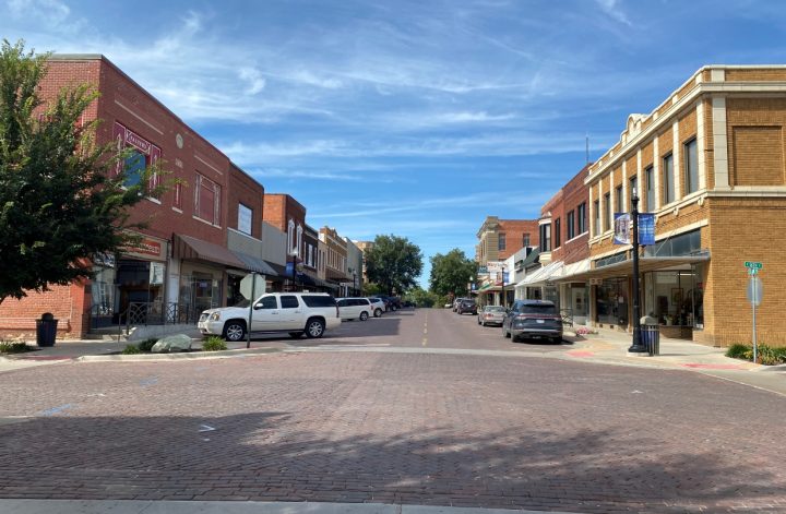
Downtowns are enjoying a renaissance as the malls across suburban America shrivel up and get bulldozed by the dozens. It wasn’t so many years ago the big legacy department stores like Sears and Wards fled downtowns for the malls. Now those stores are no more—replaced in turn by Amazon and its online copycats—while the authenticity […]