
Does Your Land Use Plan Actually Work?

Four Sundays. One development proposal. Four different layers of the same question. We started with a farmer’s heirs who wanted to sell. We followed that proposal through the future land use map, through agricultural land use policy, through the gap between the zoning code and the comprehensive plan, and finally through the thirty-year cost calculation […]

Growth Has a Price: Who Pays When Development Sprawls?

Development proposals tend to arrive one parcel at a time. So do the public decisions attached to them. A landowner wants to sell. The ground is outside town but close enough to market as a rural homesite. The developer has buyers. The road exists. The property is not in a floodplain. The tax projection looks […]

Ag First: How Rural Land Use Policy Protects Working Ground

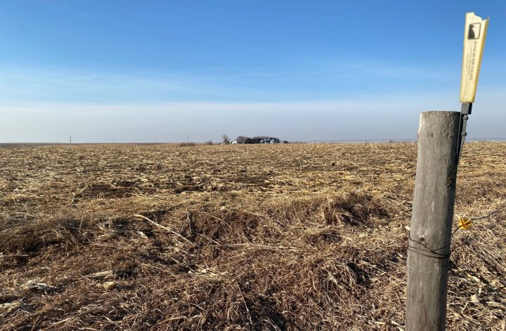
The development application is straightforward on paper. Twelve residential lots on forty acres of prime ag land, five miles outside of town. The heirs of the family that farmed it want to sell. A developer has found buyers. The parcel is accessible from a county road. No wetlands. No floodplain. Nothing obviously wrong. The planning […]
You may also like

The Future Land Use Map: Your Community’s Most Important Document

The call comes on a Tuesday afternoon. Three siblings have inherited a half-section of ground from their mother, and they all moved to California or Texas years ago. A developer has offered to buy the west forty for twelve rural home sites of three acres each, on a gravel road five miles from the nearest […]

Land Use: The Hidden Blueprint for Your Town’s Future
Somewhere in your county, there’s a parcel that’s about to become a question. The family that farmed it for three generations has kids who moved away years ago. They’ve got their own lives, their own mortgages, their own reasons for wanting to convert that ground into something they can sell. They find a developer who’s […]